Jeju Olle Walking Festival

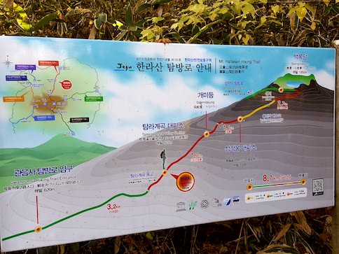
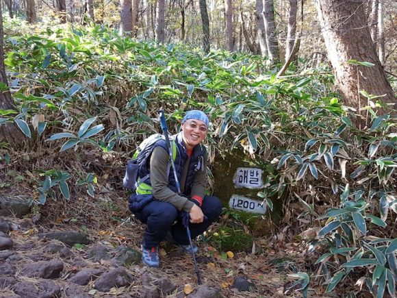
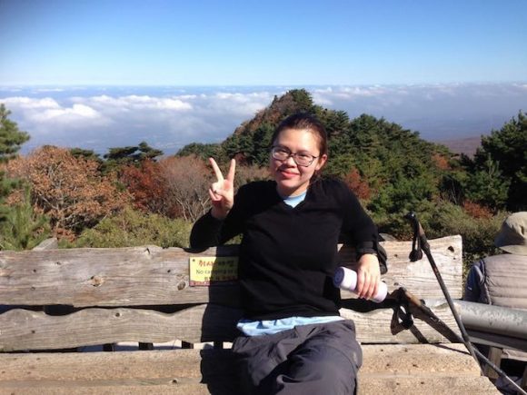
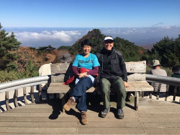
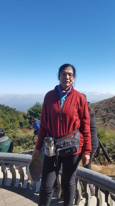
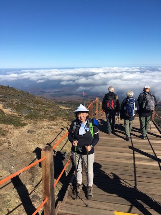
The Mt Hallasan hike gave me a muscle strain on my right leg so it was good that on the day after, we did not hike, but went instead on a sightseeing tour around Jeju island. We saw a UNESCO World Heritage site called Manjanggul Cave, a tunnel cave formed from volcanic lava flow. It was an hour into the tunnel and out, and I was frankly disappointed because I have been to the Mulu Caves in Sarawak, and this was boring by comparison.

Group photo with Seongsan lchulbong in the background

Haenyeo and my honey yo
Tan and Nellie
Posing in front of the folk village thatched houses. The humorous elderly guide and his youthful looking ( must be the horse oil) wife.

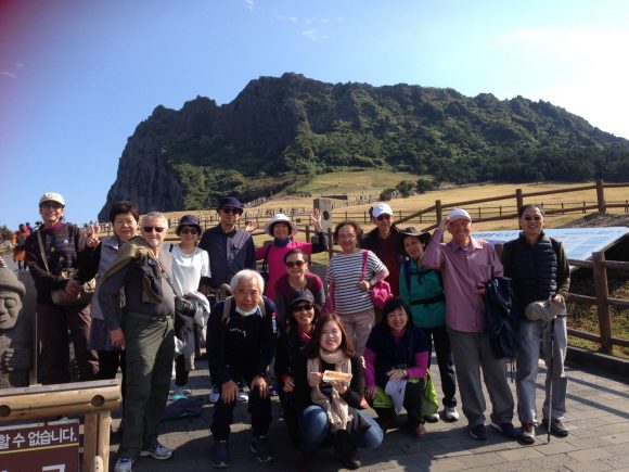
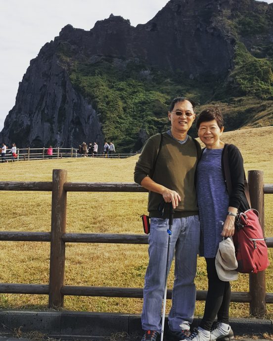
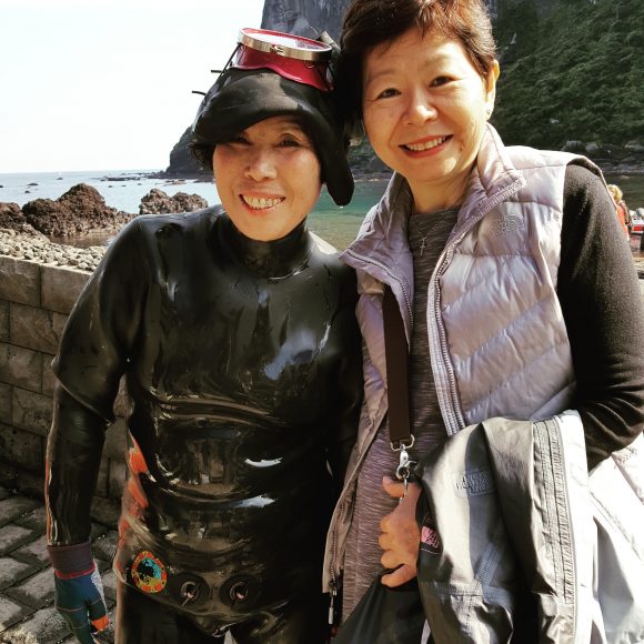
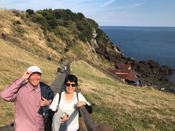
Later we went to another UNESCO World Heritage site, the Seongsan Ilchulbong (sunshine peak) a volcanic tuff cone. It was a beautiful spot and we found the cone a gradual and easy ascent. At the foot of the cone, by the sea, they cleverly put on a regular show of the haenyeo (literally, sea women) who were strong female divers who made a living diving deep in cold waters for abalone and sea urchins. They demonstrated their prowess to tourists and sold their fresh catch nearby. Later in the afternoon we visited Naganeupseong folk village where an elderly man gave us humorous insights into their culture and rural life. Then he brought us into the room to sell us horse oil cosmetics!! This was a relaxed and pleasant enough day, though I had to use a hiking stick and occasionally rub Fastum on my aching right leg.

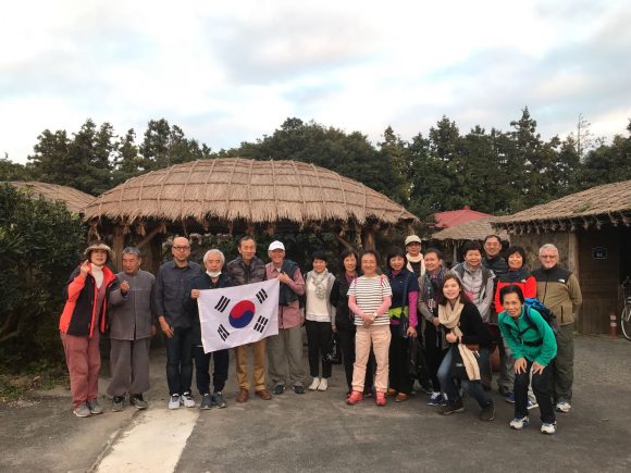
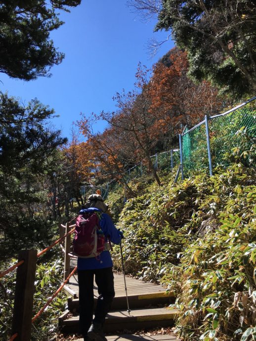
When we registered at the Jeju Olle Walking Festival (3 & 4 November 2017) we received a gift packet of mineral water, a metal cup, Innisfree sunblock, a scarf, some biscuits and cheese snacks and a guidebook. The starting point was noisy with excitement in the air. All kinds of announcements were being made on the stage and there was live music. The weather was cool and it was a beautiful morning by the coast. It was to be a 14.5 km coastal walk on the first day and another 18.5km coastal walk on the next day. The distance covered was more than what we did in our endurance training in MacRitchie reservoir in Singapore, but after Mt Hallasan this was comparably bearable, perhaps even pleasant by contrast. We were to discover that Jeju had a very rocky and stony coast. I did not see any sandy beach front until we reached the end point.


We had different starting points on both days but both ended in the same end point destination. The views were quite similar along the windswept coast but on the second day we walked inland through mandarin groves – a happy variation in scenery. Along the way they organized performances: saxophone, violin, even a grand piano performance, and at the end a rock or jazz band. There were many professional videographers along the journey but mainly at the endpoint. This event was telecast on Korean national TV. On the second day, they interviewed the Japanese Kyushu team who were here to learn as they were planning a Kyushu Olle Walking Festival in a year or two.

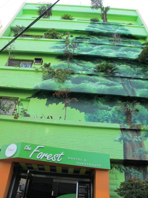
Lunch was ordered online and they were cooked by the locals – a way to help the elderly earn some pocket money and stay active. They had rice with hot soup with side dishes on trays, on both days. On the first day, lunch was served at a park along the coast. On the second day, it was at a primary school inland. We sat down in the fields and ate our lunch. We started each day at about 7.45 am and returned back to Forest Hostel in time for dinner. On the whole, it was a memorable fun walking festival that most people with minimal physical training can enjoy.


Share this:

Read More →

Hiking Mt Hallasan, Jeju Island

I looked up some videos on YouTube about climbing Mt Hallasan on Jeju Island, South Korea’s highest mountain at 1, 950 m. It seems most agree that it is not an easy climb. The ascent and descent together is about 18 km in total and the average person would take an estimated 10 hours.

The ascent map shows your progress

My first reaction was surprise at the elevation. Korea has many mountains yet their highest is only 1,950 m. This cannot be compared with Mt Kinabalu in East Malaysia which is 4,095m high and I have hiked there several times. By comparison, Hallasan should be doable.

However, as the day drew near my anxiety increased. I hardly could train as I had originally planned. Saturday church ministry meant I was available for training intermittently. Thus, I tried to squeeze in some training on days and times different from the rest of the Saturday hiking group. I did make sure I had at least one endurance training which went from 7.45am to about 12.45pm. I remembered how a lack of training ditched one of my earlier group hikes in Hong Kong on the MacLehose trail. And I was not as young as before when I did my earlier hikes up Mt Kinabalu. What made things worse were weather forecasts of cold weather! That worried me as I hated cold!

When the group gathered together at the airport most of us knew each other. Some of us had hiked together for years. Others were new. The oldest was Jenny Teo, 75, the leader’s elder sister. The youngest was Eunice Lian, about 23. Most of us were in their 60’s including me. With mixed ability and levels of training, the challenge was obvious, “How can we keep the group walking and summiting together?”

We stayed about five nights in Forest Hostel (photo: Yenny)

It was good we had a few days in Seoul to relax and carbo-load before the climb. I will blog about our days in Seoul in a later blogpost. We took a Jeju Air one hour flight to Jeju island and settled into the Forest Hostel. The weather was often on our mind, so we flashed our requests up to God about this.

The light of dawn revealed the beautiful autumn colours of Hallasan
At 1,200metres
Our hiking group leader Linda Teo with her elder sister Jenny (age 75) (photo: Jeffrey)
Jessie (who surprised us) and her strong husband Jeffrey who carried her backpack!

We decided to take the difficult Gwaneumsa trail (8.7km) up, and the easier Seongpanak trail (9.6km) down. We started our hike early at 6.45am. We wanted all in the group to be able to make it by the time fixed by the park. For safety sake, they turn back hikers who cannot make it to the three quarters point by a certain time. So the leader, Linda Teo, appointed Brian to be at the front and nobody was to overtake him. He would pause and regather the group at various points up the route. She took the rearguard. The route was straightforward and no guides were required.

Steps – wooden, cement, stones, rocks, mud. Be prepared to step up!
The vegetation gets wiry the higher we go
It was cold as we got higher and there was melting frost on some parts

As light gradually shed its rays on the forest we saw how beautifully the valleys were dressed in their lovely autumn colours, set in the midst of grey rocks and dried stream beds. Taking our time to enjoy the sights and take photos, the hike seemed quite leisurely during the early part of the hike. And I was thanking God for the fine weather: it was not as cold as weather reports predicted! The terrain and vegetation changed as we hiked up the route. We paused to drink, snack, take pictures, use the toilet and to regather the group.

The rangers offices and resting and toilet area where people are turned back at a specific time.
Hong Kwen and Brian 
Eunice the baby among the seniors (photo: Eunice)
Nellie and Tan Jee Lian (photo: Eunice)
Bibi (photo: Hong Kwen)
Plodding the upper stretches before the summit
A few bridges but this was the most impressive near the summit

The last stretch was deja vu for me. It felt like that last stretch before we reached the Laban Rata rest house at Mt Kinabalu. All of us made it on time except for a lovely couple who did not meet the time requirement. They were advised to go back down the same route. Later, when they heard stories of the rest of our hike, they were glad they were turned back. It would have been impossible for them to ascend to the summit and down the trail without great difficulty. By the time they were turned back, the rest were already hiking the last uphill climb to the summit. It would be another hour and a half before we reached the summit at about 1 plus. Someone brought a Singapore flag and we took photos and looked around the summit, peering down the crater lake (more of a pond), and the cotton clouds below us.

Another mountain nearby. Good thing it wasn’t Hallasan.
Another unknown mountain. Is this the Hallasan?
The summit area
Joy Lian (photo: Yenny)
Yenny and Y.K. (photo: Yenny)
Kenny, Jenny and Beng Chai (photo: Yenny)
At the summit of Hallasan with the clouds below eye level
Looking around at different directions at the summit. Some were on the way down.
The crater lake or should we say “pond”
Filled with excitement, satisfaction and relief at the Mt Hallasan summit with a Singapore flag. (photo: Linda)
Descending was difficult for the first kilometre
This was what 5.37pm looked like near the end

Then the mountain ranger hurried us off. We were at risk of hiking in the darkness if we did not hurry. Darkness fell early at about 6pm. We raced down even though we carried LED torches with us. If we could, we would rather not hike in the dark on uneven stony paths. By 5.30pm it was already dark. We reached the car park at about 6.45pm. Others in the group returned later. I thanked God for Beng Chai and Brian, who helped one of the hikers, who sprained her ankle at the summit area, down the trail at her pace. When all were in the bus, we were happy to return back to the hostel with a great sense of satisfaction, and exhaustion. I was so thankful to God during the climb for the fine weather and the strength to summit and descend safely.

Share this:

Read More →

Sabah quake: Pray for TKPS

Mighty Kinabalu in the background
Mighty Kinabalu

The Sabah earthquake and the tremble of mighty Mt Kinabalu shocked and struck many chords within me. I love trekking that mountain. As a pastor I have led three church groups (20-40 members each time), of young people and families mainly from eleven years old to over fifty. To hear of news of the Sabah quake and the deaths of young climbers aged 12, and teachers of Tanjong Katong Primary School is deeply sad and disturbing. I was a teacher before, and I am a parent too, and I understand to some extent a parent’s heartbreak for I have lost a child before.

The pointing of fingers have started. People blaming the “angmohs” for disrespectfully posing naked and peeing on the sacred mountain and invoking the wrath of the gods. People blaming the school, the Ministry of Education and impersonal policies and decision making processes. Parents blaming each other and themselves. This is not the time for all these. Not the time.

Writer Ovidia Yu posted this in her Facebook:

So long as we live, they too shall live,
For they are now a part of us,
As we remember them.

Poet, writer, artist, social commentator Gwee Li Sui posted a haiku on Facebook:

Haiku to the Sabah Quake Victims
———-
As you sought to reach
the sky, it rained down boulders.
Nature has wronged you.

A church member Cynthia Koe posted in her Facebook:

In times like this it is not about what to say but what should not be said.

A time like this is a feel moment not a word moment. A listening moment not an encouraging moment.

Mourning takes time and a hand to hold not a ” aww, it is ok” hug time. Let them share their loved ones’ stories and lets hear with tears as they say their last goodbyes.

What she said is true and it inspired me to write a Haiku on my Facebook account:

Not the time for blame
But for tears and holding hands
For grief to mend hearts

So it was good that the Tanjong Katong Primary School opened it grounds for its school community to grieve.

It was good that the Ministry of Education mobilized its counselors to help survivors and classmates of the departed to grieve and process the trauma.

It was good that the government declared a day of mourning today: flags flown at half-mast, a minute of silence at all South East Asia Games venue before the start of events.

We need to pray for TKGS and all the bereaved families. It will be very very painful for them in the coming months. No, years.

RIP: Fellow Singaporean hikers who lost their lives in Sabah quake
Share this:

Read More →

Mt Rinjani vs Mt Kinabalu: which is tougher?

Mt Kinabalu (4,096 m) in Sabah, Malaysia
Mt Rinjani (3,726m) in Lombok, Indonesia

At the end of our trek, we compared the level of difficulty of the Rinjani trek with the many Kinabalu treks we have done. Most of the trekkers have done Kinabalu a few times. It was unanimously agreed by all who have done both, that the Rinjani trek was tougher. I had talked about this with trekkers – people I do not know – I had met in Bukit Timah and most of them tell me Rinjani was tougher. When these fellow hikers in Bukit Timah mentioned the comparative difficulty I found it hard to believe because Mt Kinabalu is higher than Mt Rinjani. However, now that I have done Rinjani and am in a better position to compare, I have to agree with all the other people’s opinions.

Perhaps one factor that weakens my opinion is that I climbed Kinabalu about 5 years ago. Memory of the hardship and challenge has faded. However, my friends have climbed Kinabalu recently and their opinions are that Rinjani is tougher.

My friends and I are easy trekkers. We are kiasu, kiasi, and kia bo. These friends have done several treks in Nepal like Poon Hill, Annapura Base Camp, Thorong la Pass and other Everest treks. They have done Mt Fuji in Japan, Mt Agung in Bali, and a tough Trans Gopeng Cameron trek. When compared all other treks with Rinjani – everyone said this was tougher.

The comparison between Rinjani and Kinabalu will look like this in a table of comparison:

Aspects

Mt Rinjani

Mt Kinabalu

Height

3726 m

4096 m

Difficulty level of first leg

2.5 out of 4

3 out of 4

Ascent

3.8 out of 4

3.5 out of 4

Nature of challenge

-Loose gravel that sinks as you step forward.

-Sleep overnight in tents and inconvenience.

-Possible altitude sickness and thin air.

-Sleep overnight in relative comfort.

Return leg

3 out of 4

2.5 out of 4


For further reading:

http://www.blogpastor.net/2014/05/rijani-trek-spectacular-views-frustrating-ascent/

Share this:

Read More →

Rinjani trek: spectacular views, frustrating ascent

Mt Rinjani (3,726m) is second highest active volcano in Indonesia

Loose volcanic gravel coupled with frustration is the big challenge of summiting Gunung Rinjani, the second tallest active volcano in Indonesia. At 3,726 m, not a frightening height, it is the fifth tallest mountain in Indonesia. The three tallest mountains are all in Papua province.

We have made what we thought was adequate preparation but the mental challenge was what was most crucial. We had been training weekly at Bukit Timah hill, did a few endurance treks, in addition to two treks to Gunung Belumut and Gunung Lambak in Kluang, Johor. We did staircases during the weekdays too. At least I tried. This physical training was all necessary but the desire, the determination to summit is the crucial piece that was the crown of all preparations.

Easy walk in grasslands at the beginning
Then the hills get steep and misty
Drizzles and mist and constant change of apparel

The trek began with pleasant grasslands and rolling hills, cloudy and misty weather and some drizzles. The hills gradually became three steep uphill climbs to reach the Sembalun crater rim where we pitched tent, ate, rested and prepared for the final ascent to the summit at 2am the next morning.This was outside my comfort zone – living in tents. Most of us used wet wipes to clean ourselves, change our clothes and used a miner’s torch to pack ready for the ascent. I slept soundly to my pleasant surprise.

Thank God for porters who got everything ready before you reach Sembalun crater rim.
Tuna lemak with white rice tasted like lontong.

We woke at 2am but preparations, breakfast and getting all geared up caused a delay and we started at 4am. It would be too late to catch the sunrise. I did not mind. I planned to trek at a pace I am comfortable with. I do not mind reaching the summit after sunrise. And so it was that I reached the summit with my wife and three other friends at about 12 noon.

Trekking up at 5 am with head torch
Glorious sunrise came before we could reach the peak
Rinjani sunrise arrests your attention
Sengara Anak crater lake is beautiful and so is the newly formed mountain in its foreground
Short breaks to re-energize and re-hydrate

What was supposed to have taken us 3 hours took some of us 8 hours. Of course along the way we took in the sights, the sunrise, the scenery and took numerous photographs. The journey was to be enjoyed and there was no prize for the fastest. The toughest stretch was 1 km slope of loose gravel to the peak. This took us several hours. It looked so near but it took so long and so much out of you. It one long  frustrating plod. Three steps forward, two steps back. The incline was about 60-80 degrees. The ground was soft, and the gravel loose, and our feet kept sinking backwards. It was frustrating till the very end. However, you see others ahead of you, and some at the top, and talk to some on the way down, and that encouraged you to keep going.

The last 1 km was tedious, frustrating and morale sapping
There is always that "a bit more" before we reach the summit.

Lord, strengthen my legs and my hands. Guide my feet to solid ground. Bring me to the summit. Help me to get up there. And with patience and endurance, my wife and I got there and were filled with relief that the worse was over, and we made it to the summit. We were the last group to be there – we took our photos in peace and quiet. Setting your heart to reach the top was vital. The rest was God’s grace and moving step by step in the right direction.

Kenny, Ye Ping, Jenny, Eric, Judith - the last ones at the summit.
The day after - having breakfast.
Makeshift $10 toilet with a million dollar view
Lovely spectacular views of the volcanic crater lake.

We started on 28 April (Monday) and ended on the 1 May (Thursday). We stayed three nights in tents in the mountains. The first and second night we stayed at the crater rim: Plawangan Sembalun. It overlooked the beautiful Segara Anak crater lake. On the third night, we clawed our way to Pos III along the Senaru route, and camped there. There we spent the last night, and looked forward to the short trek back through equatorial forest back to civilization and the Villa Ombak Hotel Resort on Gili Trawangan.

Share this:

Read More →